EarthCam Air
When Drones meet Webcams, a powerful Geospatial Model emerges
UAV & Aerial Imagery Services
Gain useful insight with a comprehensive analytical data report with countless benefits
Powerful Technology for Insightful Documentation
Powerful Technology for Insightful Documentation
When UAVs are combined with webcams, a powerful geospatial model emerges. Through a unique collaboration of UAVs, terrestrial webcams, photography documentation and 3D imaging, EarthCam has the ability to deliver a comprehensive analytical report with countless benefits. EarthCam has organized the data in a way that is accessible, manageable and shareable across all departments within an organization.
Live Webcams
Live Webcams
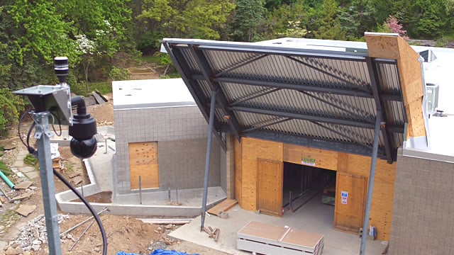
The FAA mandates that weather conditions must be monitored prior to and during drone flights. EarthCam's ConstructionCam 4K is the first of its kind to feature an integrated weather station, delivering real-time detailed weather information, including actual jobsite temperature, barometric pressure, wind speed, direction, gust and severity. The weather station provides critical information about local conditions that allow drone flight teams to prepare accordingly.
Click here to learn more about the ConstructionCam 4K.
3D Modeling & Image Mapping
3D Modeling & Image Mapping
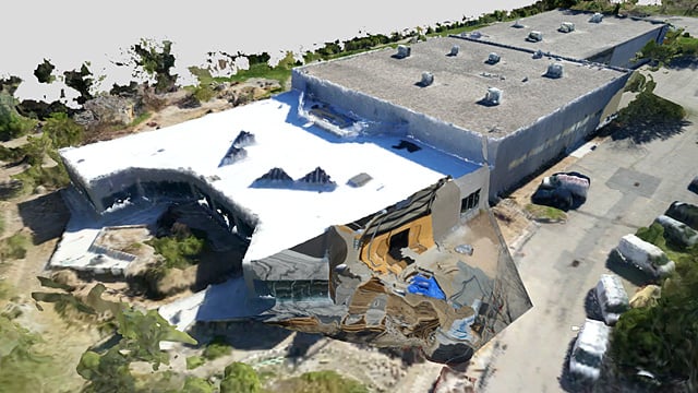
Dive deeper into the construction process with 3D imagery and modeling. Utilizing a point cloud derived from drone flight data, EarthCam has developed a geospatial mapping platform. Benefits include a digital framework to attach construction webcam images, geo-tagged photographs, site plans and video analytics of the project that users can build upon throughout the entire construction process.
Image Comparison Against 3D/4D Models
Image Comparison Against 3D/4D Models
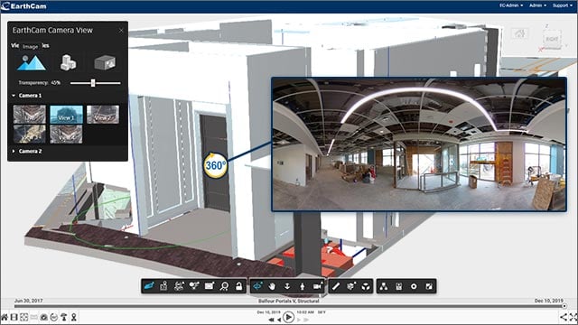
Multiple archive position and live camera support has been added to the Autodesk 3D model integration and EarthCam is leveraging AI technology to align images with associated BIM models faster and with more precision. Also added is support for more model formats including Revit, Navisworks and SketchUp, as well as as-built to as-designed image comparison while viewing site camera or 360° VR photography captured with 360° VR Site Tour.
Photography Integration
Photography Integration
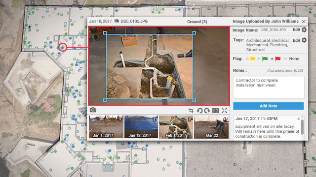
Utilize EarthCam's Control Center 9 app to integrate geo-tagged photographs with the 3D model derived from the drone flight path over your jobsite. Gain access to a more detailed perspective of the construction process, with interior images of ongoing progress for a complete visual history of the project.
Learn more about our Photography Documentation Software.
Software Integration
Software Integration
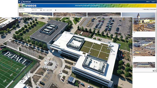
While many of our clients are already flying drones to document their construction projects, they have come to realize the challenges of managing and sharing the staggering amounts of video and 3D data. EarthCam has made it possible for its clients to integrate the data and video footage derived from their Unmanned Aerial Vehicle (UAV) with their Control Center 9 software dashboard. Now the visual information for a construction project, captured via webcams, photographers and drones, is all contained in one central location.

